Selected works

Projects & Case Studies

Case studies highlighting climate risk modeling, geospatial analytics, and remote sensing workflows, with a focus on methodology, outputs, and decision-ready insights.


Mangrove Restoration Suitability & Eligibility Screening cover

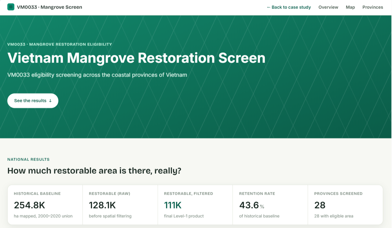
Can mangrove restoration be screened systematically across a country's coastline?

Live VM0033 eligibility screening across all 28 coastal provinces of Vietnam, computed on real public Earth Engine data, plus the confidential-client methodology it's built on.

Suitability mapping VM0033 Google Earth Engine
Project details →
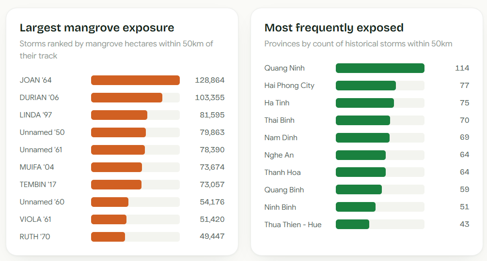
Mangrove Storm Shield Dashboard — storms ranked by mangrove exposure and provinces ranked by storm frequency

Which mangroves stand between a coastline and its next storm?

A self-directed BigQuery/dbt pipeline on historical IBTrACS storm-track data, turning raw cyclone tracks into a real cloud pipeline ranking storm exposure against mangrove cover.

BigQuery dbt GCP
Project details →
ARR Restoration Suitability Mapping cover

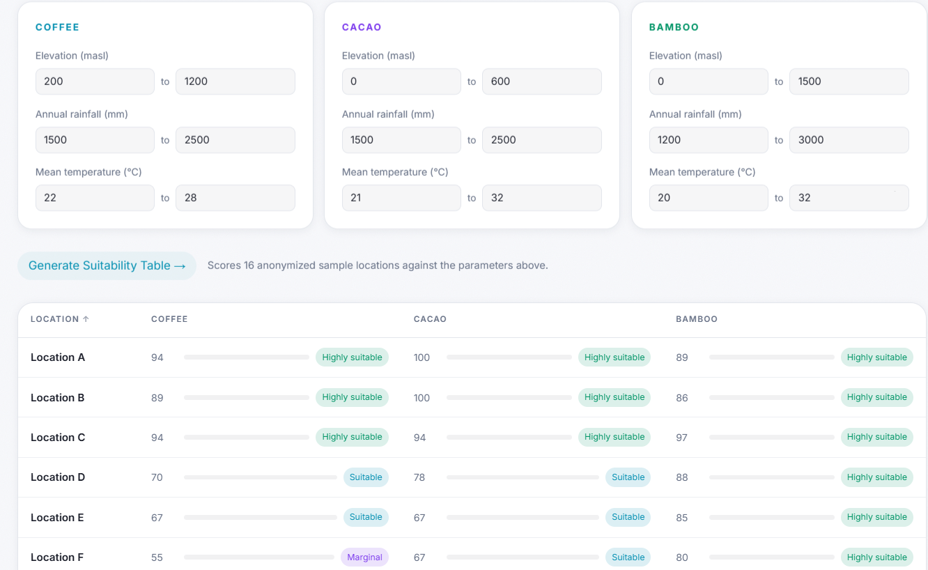
Which coastal sites are actually ready for ARR restoration?

Sample methodology for screening ARR-eligible sites for coffee, cacao, or bamboo planting, with the interactive Suitability Explorer embedded right on the page to test your own parameters.

ARR methodology Suitability mapping QGIS Interactive tool
Project details →
Hazard Exposure Dashboard cover

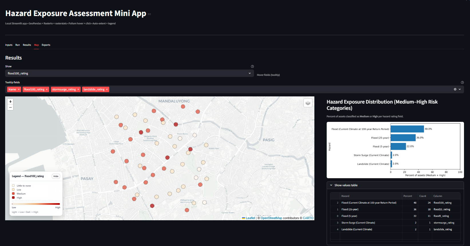
How do you track hazard exposure across hundreds of scattered assets without redoing the analysis every time?

Built a personal Streamlit dashboard to standardize and automate hazard exposure assessments, turning a repeatable manual analysis into a self-serve tool.

Dashboard GIS Exposure analysis
Project details →
Hazard exposure methodology cover

How do you compare climate hazard exposure consistently across sectors and future scenarios?

A standardized framework integrating local and global datasets, turning inconsistent one-off assessments into a scalable, current-and-future-scenario analysis.

Climate risk Methodology Spatial analysis
Project details →
River turbidity map cover

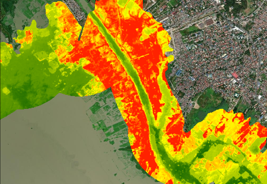
What happens to river turbidity after heavy rain?

A Google Earth Engine analysis linking rainfall patterns with satellite-derived turbidity, turning raw imagery into a repeatable way to flag siltation zones.

Remote sensing GEE Satellite data
Project details →
2D flood modeling output cover

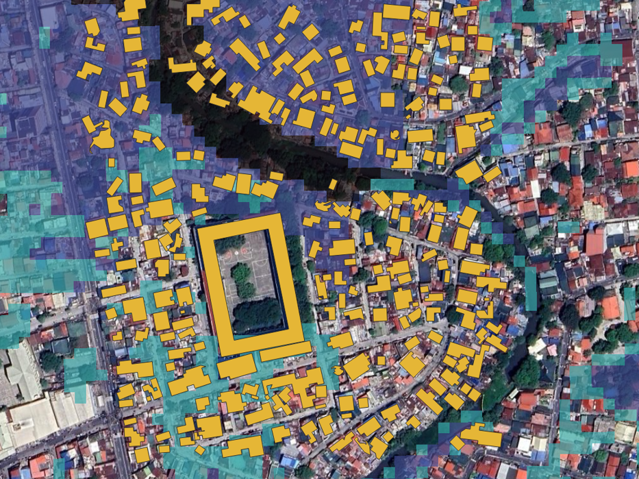
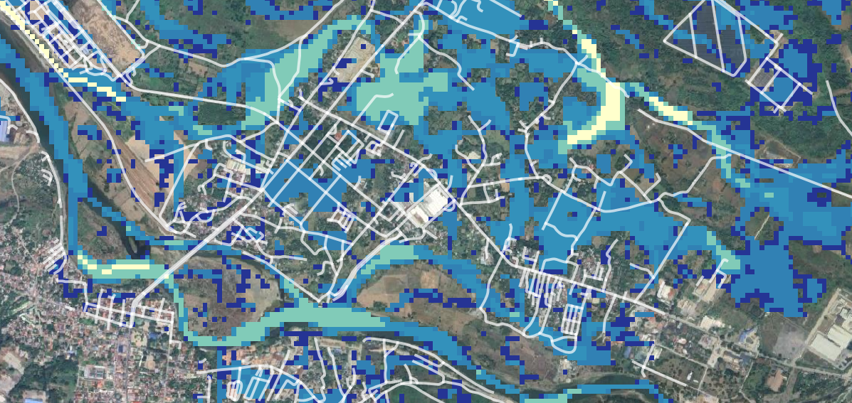
Where will floodwater actually go, and how deep will it get?

A 2D hydrodynamic modeling workflow simulating flood behavior under different scenarios, turning terrain and rainfall inputs into depth and extent maps hazard planners can act on.

Flood modeling FLO-2D GIS
Project details →
Ocean eddy detection cover

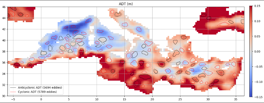
Can ocean eddies be automatically tracked across years of satellite data?

A Python-based workflow to detect and track mesoscale eddies across multi-year NetCDF data, turning large scientific datasets into spatial and temporal features analyzable at scale.

Python NetCDF Feature tracking
Project details →
↑